• How It Works
  • About Us
    • Our Management Team
    • Advertise on JobForDrones
    • Write Content for JobForDrones
    • Need a Speaker?
    • Terms and Conditions, Privacy Policy
      • Terms and Conditions: Drone Operators/Service Providers
      • Terms and Conditions for Customers
    • Contact Us
  • About Droning: Tips and Training
  • Register
  • How It Works
  • About Us
    • Our Management Team
    • Advertise on JobForDrones
    • Write Content for JobForDrones
    • Need a Speaker?
    • Terms and Conditions, Privacy Policy
      • Terms and Conditions: Drone Operators/Service Providers
      • Terms and Conditions for Customers
    • Contact Us
  • About Droning: Tips and Training
  • Register

Home Archive by category Surveying

Surveying

DJI Announce Zenmuse XT2 with FLIR and Payload SDK

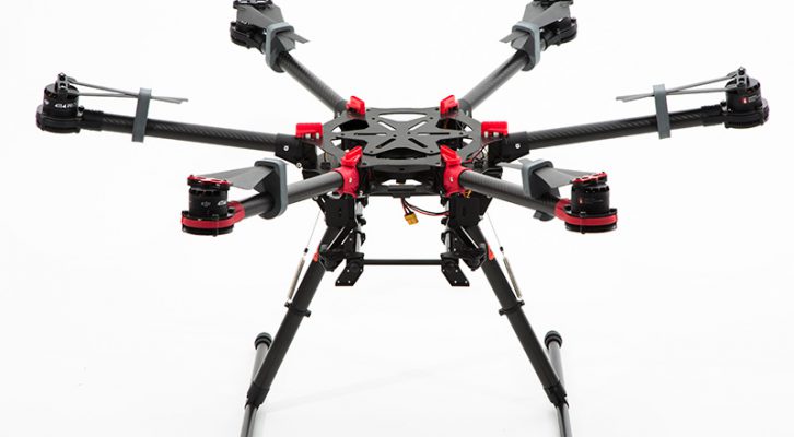
At an event today in the headquarters of the Menlo Park fire department in California, DJI and thermal imaging specialists FLIR unveiled the latest result of their partnership: The Zenmuse XT2. Setting the standard for the next generation of aerial...

March 30, 2018  By News    Posted In  Agriculture  Construction  Delivery  Film  Firefighting  News  Policing  Real Estate  Science  Surveying 
0

Four Reasons Businesses Should Hire a (Professional) Drone Operator

When you need something done by a drone - around the house, or for your business - and you aren't a licensed pilot, here's a word of advice: Just step away from the controller. Listen to that little voice that says you should not do it yourself....

January 18, 2018  By News    Posted In  Agriculture  Beyond Line of Sight  Construction  Delivery  Film  Firefighting  Policing  Real Estate  Surveying  Weddings 
0

How to Add GPS location Information to your Drone videos

  While not with every video needs this, adding GPS location data will be of use depending upon what you are doing. Think about policing, firefighting, surveying, drone applications etc. would all benefit from knowing where you are in the world. Here...

April 19, 2017  By News    Posted In  Construction  Film  Firefighting  Policing  Real Estate  Science  Surveying 
0

Making money with Drones. How to start thinking about Thermal Imaging applications

Thermal imaging is a service that many commercial drone companies are either currently utilizing or are considering to add value to their client portfolios.  Why, because thermal imaging is an excellent way to add value to aerial flight information in ways...

March 19, 2017  By Harry McNabb   Posted In  Agriculture  Construction  Firefighting  Policing  Real Estate  Science  Surveying 
0


© 2016 Job For Drones. All Rights Reserved.
Back to top
  • MITX Finalist
  • About Us
  • Advertise on JobForDrones
  • Need a Speaker?
  • Write Content for JobForDrones
  • Site By Outsight Interactive